
Leombach topographic map
Interactive map
Click on the map to display elevation.
About this map
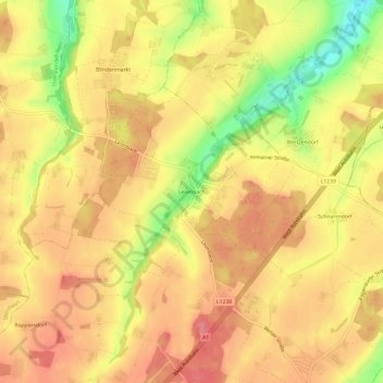
Name: Leombach topographic map, elevation, terrain.
Location: Leombach, Sipbachzell, Bezirk Wels-Land, 4621, Austria (48.10344 14.07288 48.14344 14.11288)
Average elevation: 378 m
Minimum elevation: 325 m
Maximum elevation: 405 m