
Staufen topographic map
Interactive map
Click on the map to display elevation.
About this map
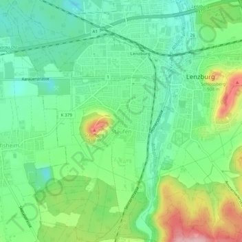
Name: Staufen topographic map, elevation, terrain.
Location: Staufen, Bezirk Lenzburg, Aargau, 5603, Switzerland (47.36515 8.14403 47.39750 8.17432)
Average elevation: 425 m
Minimum elevation: 371 m
Maximum elevation: 532 m