
Twin Peaks topographic map
Interactive map
Click on the map to display elevation.
About this map
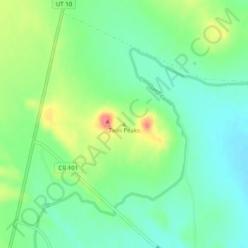
Name: Twin Peaks topographic map, elevation, terrain.
Location: Twin Peaks, Emery County, Utah, United States (39.44356 -110.85241 39.44366 -110.85231)
Average elevation: 1,771 m
Minimum elevation: 1,747 m
Maximum elevation: 1,814 m