
Forest Hill topographic map
Interactive map
Click on the map to display elevation.
About this map
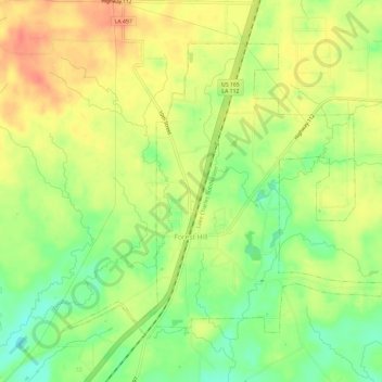
Name: Forest Hill topographic map, elevation, terrain.
Location: Forest Hill, Rapides Parish, Louisiana, 71430, United States (31.02824 -92.55156 31.06759 -92.49222)
Average elevation: 49 m
Minimum elevation: 21 m
Maximum elevation: 73 m