
Réserve écologique du Mont-Gosford topographic map
Interactive map
Click on the map to display elevation.
About this map
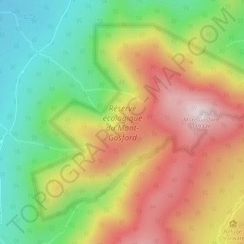
Name: Réserve écologique du Mont-Gosford topographic map, elevation, terrain.
Average elevation: 877 m
Minimum elevation: 606 m
Maximum elevation: 1,178 m