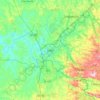
Salto topographic map
Click on the map to display elevation.
Salto
Salto (Portuguese: [ˈsawtu]) is a municipality in the state of São Paulo in Brazil. It is part of the Metropolitan Region of Sorocaba. The population is 119,736 (2020 est.) in an area of 133.06 km². The elevation is 555 m. The city has one main river, rio Tietê. The city has an important geological park, the Moutonée Park.
About this map
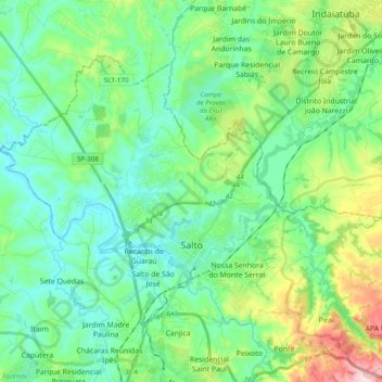
Name: Salto topographic map, elevation, terrain.
Average elevation: 575 m
Minimum elevation: 493 m
Maximum elevation: 826 m
Other topographic maps
Click on a map to view its topography, its elevation and its terrain.
Sorocaba
Brazil > São Paulo > Região Metropolitana de Sorocaba > Sorocaba
The terrain is classified as a wavy strands and characterized by local ridges, with an average altitude of 632 meters above the sea level. The highest altitude is 1028 meters, in the Serra de Sao Francisco. The lower altitude is 539 meters, in the valley of the Sorocaba River. Sorocaba is located on the edge…
Average elevation: 662 m