Geolocate

Pakil topographic map

Click on the map to display elevation.

About this map

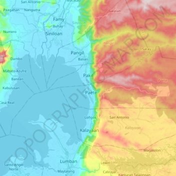
Name: Pakil topographic map, elevation, terrain.

Location: Pakil, Laguna, Calabarzon, 4017, Philippines (14.32236 121.36525 14.41427 121.54142)

Average elevation: 175 m

Minimum elevation: -4 m

Maximum elevation: 558 m

Gear up for your next adventure:

🥤Hiking Water Bottles - Reusable bottles for hydration on the trail
🧦Merino Wool Hiking Socks - Moisture-wicking socks to prevent blisters during long mountain walks
🥾Men's Waterproof Hiking Boots - Durable footwear with deep lugs for muddy and rocky UK terrains
🥤Collapsible Water Bottles - Save space in your rucksack as you consume your water
🧘Folding Sit Mats - Dry and warm seat for map-reading breaks on damp ground

As an Amazon Associate, this site earns from qualifying purchases at no extra cost to you.