
Waite Park topographic map
Interactive map
Click on the map to display elevation.
About this map
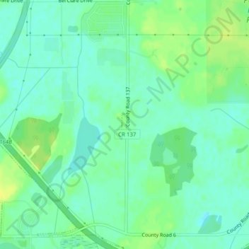
Name: Waite Park topographic map, elevation, terrain.
Location: Waite Park, Stearns County, Minnesota, United States (45.51182 -94.26112 45.51421 -94.26022)
Average elevation: 334 m
Minimum elevation: 326 m
Maximum elevation: 345 m
Other topographic maps
Click on a map to view its topography, its elevation and its terrain.