
Staden topographic map
Interactive map
Click on the map to display elevation.
About this map
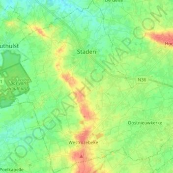
Name: Staden topographic map, elevation, terrain.
Location: Staden, West Flanders, Flanders, 8840, Belgium (50.91614 2.95907 50.99933 3.08833)
Average elevation: 25 m
Minimum elevation: 8 m
Maximum elevation: 52 m