
Chichen-Itza topographic map
Interactive map
Click on the map to display elevation.
About this map
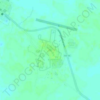
Name: Chichen-Itza topographic map, elevation, terrain.
Average elevation: 27 m
Minimum elevation: 22 m
Maximum elevation: 33 m
Other topographic maps
Click on a map to view its topography, its elevation and its terrain.
San Felipe Nuevo
Mexico > Yucatán > Tinum > San Felipe Nuevo
San Felipe Nuevo, Tinum, Yucatán, 97751, Mexico
Average elevation: 27 m