
Fairland topographic map
Interactive map
Click on the map to display elevation.
About this map
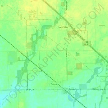
Name: Fairland topographic map, elevation, terrain.
Location: Fairland, Shelby County, Indiana, United States (39.58367 -85.87730 39.61082 -85.82392)
Average elevation: 239 m
Minimum elevation: 228 m
Maximum elevation: 247 m
Other topographic maps
Click on a map to view its topography, its elevation and its terrain.
Shelbyville
United States > Indiana > Shelby County
Shelbyville, Shelby County, Indiana, United States
Average elevation: 240 m