
Puslinch topographic map
Interactive map
Click on the map to display elevation.
About this map
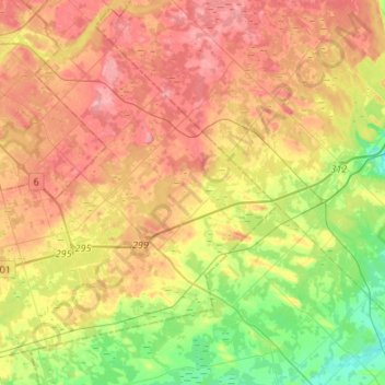
Name: Puslinch topographic map, elevation, terrain.
Location: Puslinch, Wellington County, Ontario, Canada (43.38696 -80.30284 43.56768 -80.03383)
Average elevation: 315 m
Minimum elevation: 251 m
Maximum elevation: 378 m