
Mahesana topographic map
Interactive map
Click on the map to display elevation.
About this map
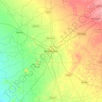
Name: Mahesana topographic map, elevation, terrain.
Average elevation: 92 m
Minimum elevation: 59 m
Maximum elevation: 138 m
Mehsana has an average elevation of 375 feet (114 m) above sea level. By Ahmedabad-Palnpur Railway line, the town is divided in two: the east and western parts are known as Mehsana-1 and Mehsana-2 respectively.