
Thank you for supporting this site ❤️
Make a donation
Make a donation
Gear up for your next adventure:
As an Amazon Associate, this site earns from qualifying purchases at no extra cost to you.
Lamoille topographic map
Click on the map to display elevation.
Thank you for supporting this site ❤️
Make a donation
Make a donation
Gear up for your next adventure:
As an Amazon Associate, this site earns from qualifying purchases at no extra cost to you.
About this map
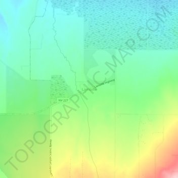
Name: Lamoille topographic map, elevation, terrain.
Location: Lamoille, Elko County, Nevada, 89828, United States (40.70798 -115.49839 40.74798 -115.45839)
Average elevation: 1,799 m
Minimum elevation: 1,740 m
Maximum elevation: 1,926 m
Thank you for supporting this site ❤️
Make a donation
Make a donation
Gear up for your next adventure:
As an Amazon Associate, this site earns from qualifying purchases at no extra cost to you.