
Sparland topographic map
Interactive map
Click on the map to display elevation.
About this map
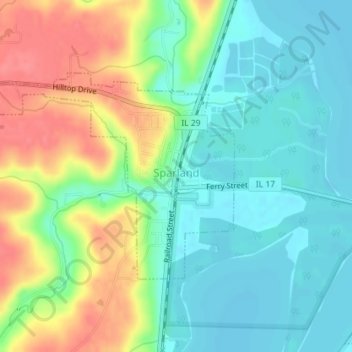
Name: Sparland topographic map, elevation, terrain.
Location: Sparland, Marshall County, Illinois, United States (41.02046 -89.46098 41.03630 -89.43250)
Average elevation: 159 m
Minimum elevation: 134 m
Maximum elevation: 202 m