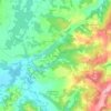
Grad Sisak topographic map
Click on the map to display elevation.
Grad Sisak
Sisak (Croatian pronunciation: [sǐːsak]; Hungarian: Sziszek [ˈsisɛk]; also known by other alternative names) is a city in central Croatia, spanning the confluence of the Kupa, Sava and Odra rivers, 57 km (35 mi) southeast of the Croatian capital Zagreb, and is usually considered to be where the Posavina (Sava basin) begins, with an elevation of 99 m. The city's total population in 2011 was 47,768 of which 33,322 live in the urban settlement (naselje).
About this map
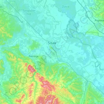
Name: Grad Sisak topographic map, elevation, terrain.
Location: Grad Sisak, Sisak-Moslavina County, Croatia (45.33580 16.24298 45.57591 16.78132)
Average elevation: 132 m
Minimum elevation: 88 m
Maximum elevation: 457 m
Other topographic maps
Click on a map to view its topography, its elevation and its terrain.



Šuškovići
Croatia > Sisak-Moslavina County > Town of Petrinja > Grabovac Banski
Average elevation: 214 m