Geolocate

Bahri topographic map

Click on the map to display elevation.

About this map

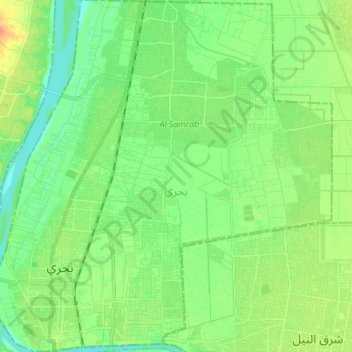
Name: Bahri topographic map, elevation, terrain.

Location: Bahri, Al Khartum, Sudan (15.61560 32.50734 15.74897 32.64175)

Average elevation: 384 m

Minimum elevation: 371 m

Maximum elevation: 404 m

Other topographic maps

Click on a map to view its topography, its elevation and its terrain.

Nile 6th. Cataract

Sudan > Al Khartum

Average elevation: 450 m

Public Park (free)

Sudan > Al Khartum > Khartoum

Average elevation: 380 m

Battle of Omdurman

Sudan > Al Khartum > Hillat Karari > Karan

Average elevation: 387 m

Hillat Ash Shiqelab

Sudan > Al Khartum > Khartoum

Average elevation: 381 m

Gear up for your next adventure:

🧢Hiking Hats - Sun and weather protection for outdoor walks
📸Action Camera Chest Mounts - Record your ascent following topographic paths hands-free
🧼Technical Clothing Wash - Special soap to clean and restore waterproof membranes
🧥Waterproof Hiking Jackets - Rain protection for walking in all weather conditions
🧦Merino Wool Hiking Socks - Moisture-wicking socks to prevent blisters during long mountain walks

As an Amazon Associate, this site earns from qualifying purchases at no extra cost to you.