
Oakford topographic map
Interactive map
Click on the map to display elevation.
About this map
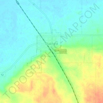
Name: Oakford topographic map, elevation, terrain.
Location: Oakford, Menard County, Illinois, United States (40.09480 -89.97166 40.10615 -89.95782)
Average elevation: 158 m
Minimum elevation: 142 m
Maximum elevation: 185 m