
Michelbeke topographic map
Interactive map
Click on the map to display elevation.
About this map
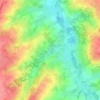
Name: Michelbeke topographic map, elevation, terrain.
Location: Michelbeke, Brakel, Oudenaarde, East Flanders, Flanders, Belgium (50.81836 3.73559 50.84727 3.77414)
Average elevation: 59 m
Minimum elevation: 21 m
Maximum elevation: 101 m