
Lontovž topographic map
Interactive map
Click on the map to display elevation.
About this map
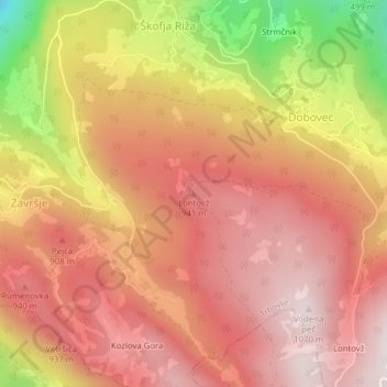
Name: Lontovž topographic map, elevation, terrain.
Location: Lontovž, Trbovlje, 1414, Slovenia (46.10547 15.04729 46.10557 15.04739)
Average elevation: 790 m
Minimum elevation: 271 m
Maximum elevation: 1,059 m
Other topographic maps
Click on a map to view its topography, its elevation and its terrain.