
山西大同火山群国家地质公园 topographic map
Interactive map
Click on the map to display elevation.
About this map
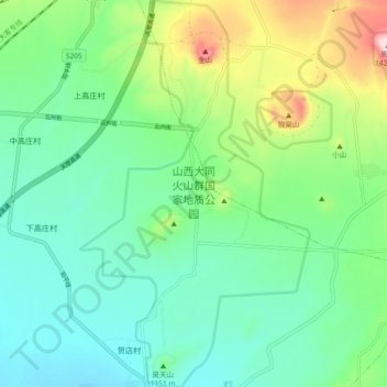
Name: 山西大同火山群国家地质公园 topographic map, elevation, terrain.
Location: 山西大同火山群国家地质公园, Yunzhou District, Datong, Shanxi, China (40.05151 113.58701 40.12226 113.67351)
Average elevation: 1,143 m
Minimum elevation: 1,044 m
Maximum elevation: 1,409 m
Other topographic maps
Click on a map to view its topography, its elevation and its terrain.