Geolocate

Hills topographic map

Click on the map to display elevation.

About this map
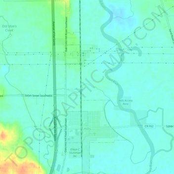
Name: Hills topographic map, elevation, terrain.

Location: Hills, Johnson County, Iowa, 52235, United States (41.54368 -91.54509 41.58380 -91.52260)

Average elevation: 196 m

Minimum elevation: 186 m

Maximum elevation: 229 m

Other topographic maps

Click on a map to view its topography, its elevation and its terrain.

Cosgrove

United States > Iowa > Johnson County

Average elevation: 228 m

Cosgrove

United States > Iowa > Johnson County

Average elevation: 228 m

Gear up for your next adventure:

🍱Food Containers - Reusable containers for outdoor meals
🧭Professional Hiking Compasses - High-precision liquid-filled compasses for map reading and orientation
🔋Solar Chargers - Eco-friendly charging solutions for outdoor use
👕Merino Base Layers - Natural temperature regulation for cold weather hiking and camping
📕Outdoor Navigation Books - Learn traditional and modern navigation techniques

As an Amazon Associate, this site earns from qualifying purchases at no extra cost to you.