Geolocate

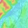
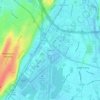
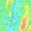
Ridgefield topographic map

Click on the map to display elevation.

About this map
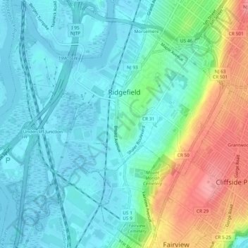
Name: Ridgefield topographic map, elevation, terrain.

Location: Ridgefield, Bergen County, New Jersey, United States (40.81272 -74.03538 40.84682 -73.98893)

Average elevation: 27 m

Minimum elevation: -2 m

Maximum elevation: 99 m

Other topographic maps

Click on a map to view its topography, its elevation and its terrain.
Darlington

United States > New Jersey > Bergen County > Mahwah

Average elevation: 129 m

Ridgewood

United States > New Jersey > Bergen County

Average elevation: 56 m

West Mahwah

United States > New Jersey > Bergen County > Mahwah

Average elevation: 126 m

Linwood

United States > New Jersey > Bergen County > Fort Lee

Average elevation: 49 m

Ridgewood

United States > New Jersey > Bergen County

Average elevation: 56 m

Teterboro

United States > New Jersey > Bergen County > Teterboro

Average elevation: 12 m

Ridgewood

United States > New Jersey > Bergen County

Average elevation: 56 m

Darlington

United States > New Jersey > Bergen County > Mahwah

Average elevation: 129 m

Fardale

United States > New Jersey > Bergen County > Mahwah

Average elevation: 124 m

Green Hill

United States > New Jersey > Bergen County > Mahwah

Average elevation: 175 m

Stag Hill

United States > New Jersey > Bergen County > Mahwah

Average elevation: 204 m

Cragmere

United States > New Jersey > Bergen County > Mahwah

Average elevation: 136 m

Drag Hill

United States > New Jersey > Bergen County > Mahwah

Average elevation: 252 m

Westwood

United States > New Jersey > Bergen County > Westwood > Westwood

Average elevation: 31 m

Gear up for your next adventure:

🧤Waterproof Overmitts - Extreme weather protection for hikers and mountaineers
🎒Multi-day Trekking Packs - Large capacity backpacks for wild camping and long-distance trails
⛺Lightweight Solo Tents - Backpacking tents designed for wild camping in the UK highlands
👟Heavy Duty Boot Laces - Always carry a spare for your hiking footwear
📸Action Camera Chest Mounts - Record your ascent following topographic paths hands-free

As an Amazon Associate, this site earns from qualifying purchases at no extra cost to you.