
오탄리 topographic map
Interactive map
Click on the map to display elevation.
About this map
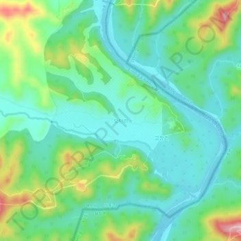
Name: 오탄리 topographic map, elevation, terrain.
Location: 오탄리, Kaesong, North Korea (38.12828 126.92781 38.16828 126.96781)
Average elevation: 91 m
Minimum elevation: 30 m
Maximum elevation: 247 m