
Thank you for supporting this site ❤️
Make a donation
Make a donation
Gear up for your next adventure:
As an Amazon Associate, this site earns from qualifying purchases at no extra cost to you.
Petiambun topographic map
Click on the map to display elevation.
Thank you for supporting this site ❤️
Make a donation
Make a donation
Gear up for your next adventure:
As an Amazon Associate, this site earns from qualifying purchases at no extra cost to you.
About this map
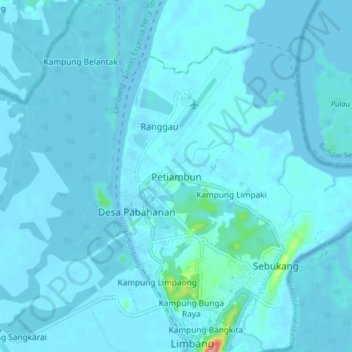
Name: Petiambun topographic map, elevation, terrain.
Location: Petiambun, Limbang, Limbang Division, Sarawak, 98708, Malaysia (4.75134 114.96565 4.83134 115.04565)
Average elevation: 5 m
Minimum elevation: -7 m
Maximum elevation: 112 m
Thank you for supporting this site ❤️
Make a donation
Make a donation
Gear up for your next adventure:
As an Amazon Associate, this site earns from qualifying purchases at no extra cost to you.