Geolocate

Neely topographic map

Click on the map to display elevation.

About this map
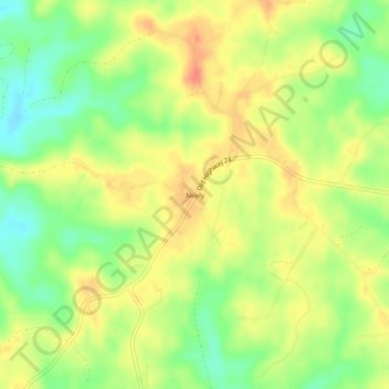
Name: Neely topographic map, elevation, terrain.

Location: Neely, Greene County, Mississippi, 39461, United States (31.14491 -88.77475 31.18491 -88.73475)

Average elevation: 57 m

Minimum elevation: 30 m

Maximum elevation: 79 m

Other topographic maps

Click on a map to view its topography, its elevation and its terrain.

McLain

United States > Mississippi > Greene County

Average elevation: 26 m

McLain

United States > Mississippi > Greene County

Average elevation: 26 m

Gear up for your next adventure:

📻Hand-Crank Emergency Radios - Stay updated on weather warnings in remote areas
🥾Hiking Boot Waterproofing Wax - Maintain the lifespan of your leather trekking boots
👖Hiking Trousers - Durable trousers designed for rough terrain
⌚GPS Outdoor Watches - Watches with GPS tracking for hiking and exploration
🗺️Topographic Maps - Detailed maps showing elevation and terrain features

As an Amazon Associate, this site earns from qualifying purchases at no extra cost to you.