
Thank you for supporting this site ❤️
Make a donation
Make a donation
Gear up for your next adventure:
As an Amazon Associate, this site earns from qualifying purchases at no extra cost to you.
Kashmir topographic map
Click on the map to display elevation.
Thank you for supporting this site ❤️
Make a donation
Make a donation
Gear up for your next adventure:
As an Amazon Associate, this site earns from qualifying purchases at no extra cost to you.
About this map
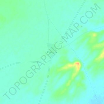
Name: Kashmir topographic map, elevation, terrain.
Location: Kashmir, Sheo Tehsil, Barmer, Rajasthan, India (26.24442 71.58275 26.28442 71.62275)
Average elevation: 226 m
Minimum elevation: 217 m
Maximum elevation: 252 m
Thank you for supporting this site ❤️
Make a donation
Make a donation
Gear up for your next adventure:
As an Amazon Associate, this site earns from qualifying purchases at no extra cost to you.