Geolocate

Muscle Shoals topographic map

Click on the map to display elevation.

About this map

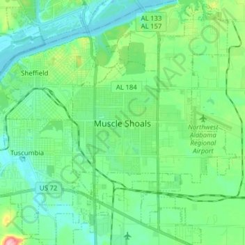
Name: Muscle Shoals topographic map, elevation, terrain.

Location: Muscle Shoals, Colbert County, Alabama, 35661, United States (34.69182 -87.68022 34.79579 -87.56126)

Average elevation: 156 m

Minimum elevation: 126 m

Maximum elevation: 256 m

Other topographic maps

Click on a map to view its topography, its elevation and its terrain.

Barton

United States > Alabama > Colbert County

Average elevation: 160 m

Ford City

United States > Alabama > Colbert County

Average elevation: 176 m

Leighton

United States > Alabama > Colbert County

Average elevation: 176 m

Gear up for your next adventure:

🗺️Ordnance Survey Maps - Essential paper maps for hiking across the UK national parks
📸Action Camera Chest Mounts - Record your ascent following topographic paths hands-free
🔦Keychain LED Torches - Emergency backup light for finding gear in your pack
🕶️Glacier Goggles - Maximum protection for high-altitude snow topography
🧷Tenacious Repair Tape - Instant fix for torn tents, jackets, or dry bags

As an Amazon Associate, this site earns from qualifying purchases at no extra cost to you.