
Make a donation
Gear up for your next adventure:
As an Amazon Associate, this site earns from qualifying purchases at no extra cost to you.
Chimney Rock topographic map
Click on the map to display elevation.
Make a donation
Gear up for your next adventure:
As an Amazon Associate, this site earns from qualifying purchases at no extra cost to you.
About this map
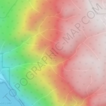
Name: Chimney Rock topographic map, elevation, terrain.
Average elevation: 1,506 m
Minimum elevation: 799 m
Maximum elevation: 1,926 m
Make a donation
Gear up for your next adventure:
As an Amazon Associate, this site earns from qualifying purchases at no extra cost to you.
Other topographic maps
Click on a map to view its topography, its elevation and its terrain.
Duffey Lake
Canada > British Columbia > Squamish-Lillooet Regional District > Area B (Cayoosh/Pavilion)
Average elevation: 1,539 m
Seton Lake
Canada > British Columbia > Squamish-Lillooet Regional District > Area B (Cayoosh/Pavilion)
The lake is bounded by snow-capped mountains that descend abruptly to the shores. Environmental conditions largely mirror the Anderson Lake geology, topography, and climate. However, glacial silt from Cayoosh Creek, entering via the power station tunnel, makes the lake water much cloudier than Anderson.
Average elevation: 1,339 m
Serpentine Lake
Canada > British Columbia > Squamish-Lillooet Regional District > Area B (Cayoosh/Pavilion)
Average elevation: 1,923 m