
Congo Basin topographic map
Interactive map
Click on the map to display elevation.
About this map
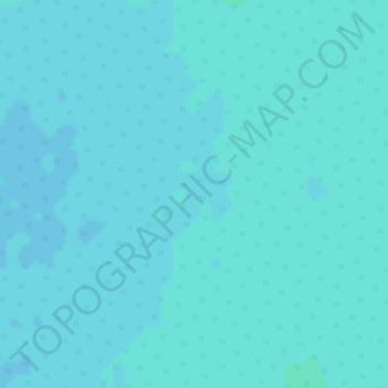
Name: Congo Basin topographic map, elevation, terrain.
Location: Congo Basin, Équateur, Democratic Republic of the Congo (-0.50005 17.99995 -0.49995 18.00005)
Average elevation: 302 m
Minimum elevation: 301 m
Maximum elevation: 304 m
Other topographic maps
Click on a map to view its topography, its elevation and its terrain.
Mbandaka
Democratic Republic of the Congo > Équateur > Mbandaka
Mbandaka, Équateur, Democratic Republic of the Congo
Average elevation: 308 m
Nkondi
Democratic Republic of the Congo > Équateur
Nkondi, Équateur, Democratic Republic of the Congo
Average elevation: 329 m