Geolocate

Mansilingan topographic map

Click on the map to display elevation.

About this map

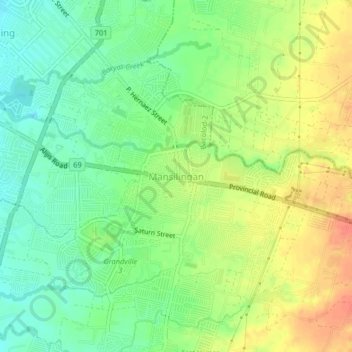
Name: Mansilingan topographic map, elevation, terrain.

Location: Mansilingan, Western Visayas, 6100, Philippines (10.61159 122.95380 10.65159 122.99380)

Average elevation: 38 m

Minimum elevation: 15 m

Maximum elevation: 65 m

Gear up for your next adventure:

📷Camera Straps - Secure straps for carrying cameras while walking
👟Heavy Duty Boot Laces - Always carry a spare for your hiking footwear
🧣Neck Gaiters - Protects against wind and sun on exposed ridges and peaks
🧥Packable Down Jackets - Lightweight warmth that compresses small in your bag
🥾Trekking Poles - Poles to improve stability on uneven terrain

As an Amazon Associate, this site earns from qualifying purchases at no extra cost to you.