
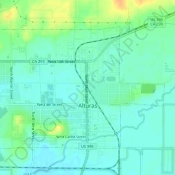
Alturas topographic map
Interactive map
Click on the map to display elevation.
About this map
Name: Alturas topographic map, elevation, terrain.
Average elevation: 1,337 m
Minimum elevation: 1,327 m
Maximum elevation: 1,358 m
Alturas (Spanish for "Heights"; Achumawi: Kasalektawi) is a city and the county seat of Modoc County, California. Located in the Shasta Cascade region of Northern California, the city had a population of 2,715 at the 2020 census. Alturas is located at the confluence of the south and north forks of the Pit River, east of the center of Modoc County, at an elevation of 4,370 feet (1,330 m). Alturas is one of the largest cities in the region and a local economic hub.
Other topographic maps
Click on a map to view its topography, its elevation and its terrain.
California Pines
United States > California > Modoc County
California Pines, Modoc County, California, United States
Average elevation: 1,339 m
Ash Creek Wildlife Area
United States > California > Modoc County
Ash Creek Wildlife Area, Modoc County, California, United States
Average elevation: 1,267 m
Mammoth
United States > California > Modoc County
Mammoth, Modoc County, California, United States
Average elevation: 1,279 m