Geolocate

Howard topographic map

Click on the map to display elevation.

About this map

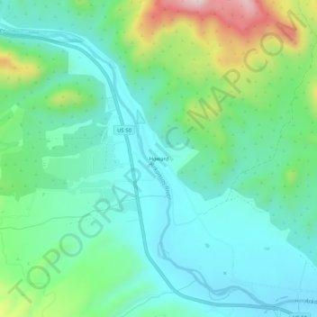
Name: Howard topographic map, elevation, terrain.

Location: Howard, Fremont County, Colorado, 81233, United States (38.42861 -105.85529 38.46861 -105.81529)

Average elevation: 2,130 m

Minimum elevation: 2,018 m

Maximum elevation: 2,455 m

Gear up for your next adventure:

🎒Hiking Daypacks (20L) - Compact backpacks for day trips and technical mountain ascents
🗺️Scratch-off Peak Maps - Track your progress climbing Munros or Wainwrights
🎒Backpack Rain Covers - Universal waterproof covers to protect your gear from downpours
🧥Packable Down Jackets - Lightweight warmth that compresses small in your bag
🛌Sleeping Bags - Warm and packable sleeping bags for outdoor nights

As an Amazon Associate, this site earns from qualifying purchases at no extra cost to you.