
Pella topographic map
Interactive map
Click on the map to display elevation.
About this map
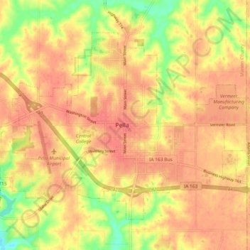
Name: Pella topographic map, elevation, terrain.
Location: Pella, Marion County, Iowa, United States (41.38138 -92.96246 41.43273 -92.86721)
Average elevation: 254 m
Minimum elevation: 214 m
Maximum elevation: 273 m