
Nora Springs topographic map
Interactive map
Click on the map to display elevation.
About this map
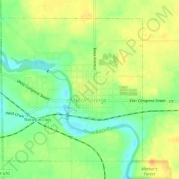
Name: Nora Springs topographic map, elevation, terrain.
Location: Nora Springs, Floyd County, Iowa, 50458, United States (43.13362 -93.03018 43.15521 -92.99458)
Average elevation: 333 m
Minimum elevation: 314 m
Maximum elevation: 349 m