Geolocate

Mousehole topographic map

Click on the map to display elevation.

About this map
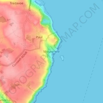
Name: Mousehole topographic map, elevation, terrain.

Location: Mousehole, Penzance, Cornwall, South West England, England, TR19 6PQ, United Kingdom (50.06399 -5.55896 50.10399 -5.51896)

Average elevation: 41 m

Minimum elevation: -1 m

Maximum elevation: 117 m

Cornwall trails, hiking, mountain biking, running and outdoor activities

Gear up for your next adventure:

🎒Backpack Rain Covers - Universal waterproof covers to protect your gear from downpours
👟Heavy Duty Boot Laces - Always carry a spare for your hiking footwear
🔦Head Torches - Hands-free lighting for hiking and camping
🧢Hiking Hats - Sun and weather protection for outdoor walks
🥾Hiking Boots - Waterproof and durable boots for long-distance hiking in the UK

As an Amazon Associate, this site earns from qualifying purchases at no extra cost to you.