Geolocate

Damanhur topographic map

Click on the map to display elevation.

About this map
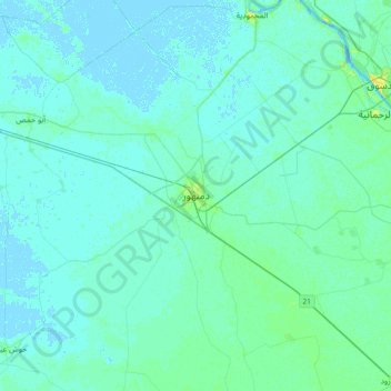
Name: Damanhur topographic map, elevation, terrain.

Location: Damanhur, Lake, 22511, Egypt (30.87750 30.31106 31.19750 30.63106)

Average elevation: 2 m

Minimum elevation: -3 m

Maximum elevation: 15 m

Gear up for your next adventure:

👖Packable Overtrousers - Quick-deploy rain protection for legs in sudden storms
🥾Men's Waterproof Hiking Boots - Durable footwear with deep lugs for muddy and rocky UK terrains
📱Phone Mounts for Hiking - Secure mounts to carry your phone on trails
🕶️Glacier Goggles - Maximum protection for high-altitude snow topography
📕Outdoor Navigation Books - Learn traditional and modern navigation techniques

As an Amazon Associate, this site earns from qualifying purchases at no extra cost to you.