Geolocate

Redwater topographic map

Click on the map to display elevation.

About this map
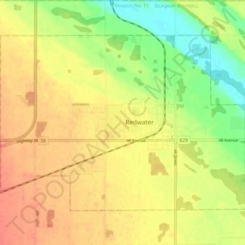
Name: Redwater topographic map, elevation, terrain.

Location: Redwater, Town of Redwater, Alberta, T0A 2W0, Canada (53.93436 -113.16167 53.97077 -113.07521)

Average elevation: 630 m

Minimum elevation: 602 m

Maximum elevation: 649 m

Gear up for your next adventure:

🚲Bikepacking Frame Bags - Storage for tools and navigation gear on long off-road rides
🗺️Scratch-off Peak Maps - Track your progress climbing Munros or Wainwrights
📍Handheld GPS Navigators - Reliable satellite navigation for hiking and off-road exploration
🥾Trekking Poles - Poles to improve stability on uneven terrain
🧺Microfibre Travel Towels - Fast-drying and compact towels for wild swimming and camping

As an Amazon Associate, this site earns from qualifying purchases at no extra cost to you.