
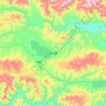
Ngamring topographic map
Interactive map
Click on the map to display elevation.
About this map
Name: Ngamring topographic map, elevation, terrain.
Location: Ngamring, Kagar, Ngamring County, Shigatse, Tibet, China (29.13902 87.07251 29.45902 87.39251)
Average elevation: 4,636 m
Minimum elevation: 4,081 m
Maximum elevation: 5,666 m