Geolocate

Comacchio topographic map

Click on the map to display elevation.

About this map

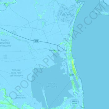
Name: Comacchio topographic map, elevation, terrain.

Location: Comacchio, Ferrara, Emilia-Romagna, Italy (44.54956 11.95943 44.82151 12.28597)

Average elevation: -1 m

Minimum elevation: -7 m

Maximum elevation: 14 m

Other topographic maps

Click on a map to view its topography, its elevation and its terrain.

Lido delle Nazioni

Italy > Emilia-Romagna > Ferrara > Comacchio

Average elevation: -1 m

Gear up for your next adventure:

🛌Insulated Sleeping Mats - Crucial thermal protection when sleeping on cold, uneven ground
🎒Hiking Daypacks - Compact backpacks ideal for short hikes and excursions
📱Phone Mounts for Hiking - Secure mounts to carry your phone on trails
🐕Hiking Dog Harnesses - Rugged harnesses for taking your companion on mountain trails
🥫Expedition Meals - Lightweight, high-calorie nutrition for long-distance hikers

As an Amazon Associate, this site earns from qualifying purchases at no extra cost to you.