
Gärdsås topographic map
Interactive map
Click on the map to display elevation.
About this map
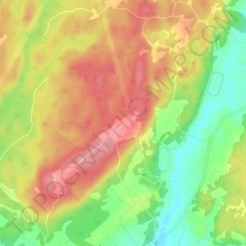
Name: Gärdsås topographic map, elevation, terrain.
Location: Gärdsås, Marks kommun, Västra Götaland County, Sweden (57.47359 12.47822 57.51359 12.51822)
Average elevation: 82 m
Minimum elevation: 24 m
Maximum elevation: 138 m
Other topographic maps
Click on a map to view its topography, its elevation and its terrain.