Geolocate

Calawagan topographic map

Click on the map to display elevation.

About this map

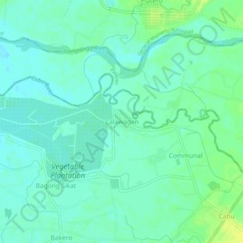
Name: Calawagan topographic map, elevation, terrain.

Location: Calawagan, Cabanatuan, Nueva Ecija, Central Luzon, Philippines (15.51498 121.01445 15.55498 121.05445)

Average elevation: 43 m

Minimum elevation: 36 m

Maximum elevation: 55 m

Other topographic maps

Click on a map to view its topography, its elevation and its terrain.

Gear up for your next adventure:

🧥Waterproof Hiking Jackets - Rain protection for walking in all weather conditions
🩹Hiking First Aid Kits - Compact medical kits tailored for trail injuries and emergencies
🧭GPS Trackers - Tracking devices for safety and navigation
🎒Multi-day Trekking Packs - Large capacity backpacks for wild camping and long-distance trails
💧Hydration Reservoirs - Convenient water bladders for hands-free drinking on the move

As an Amazon Associate, this site earns from qualifying purchases at no extra cost to you.