Geolocate

Dudhani topographic map

Click on the map to display elevation.

About this map
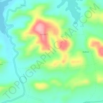
Name: Dudhani topographic map, elevation, terrain.

Location: Dudhani, Dharni, Amravati, Maharashtra, India (21.42760 76.78737 21.43645 76.81113)

Average elevation: 385 m

Minimum elevation: 332 m

Maximum elevation: 485 m

Gear up for your next adventure:

🧣Neck Gaiters - Protects against wind and sun on exposed ridges and peaks
🧭Orienteering Compasses - Accurate compasses for map-based navigation
🥾Women's Waterproof Hiking Boots - High-performance trekking boots designed for all-weather comfort
📱Rugged Phone Cases - Heavy-duty protection for smartphones used as secondary GPS tools
🔥Reusable Hand Warmers - Maintain dexterity in your fingers for precise map handling

As an Amazon Associate, this site earns from qualifying purchases at no extra cost to you.