
Ngorongo Mashariki topographic map
Interactive map
Click on the map to display elevation.
About this map
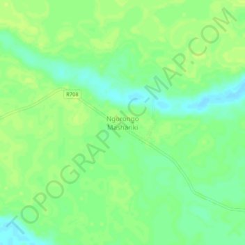
Name: Ngorongo Mashariki topographic map, elevation, terrain.
Location: Ngorongo Mashariki, Rufiji, Pwani, Coastal Zone, Tanzania (-7.88840 38.62489 -7.84840 38.66489)
Average elevation: 40 m
Minimum elevation: 31 m
Maximum elevation: 45 m