Geolocate

Bhadrak topographic map

Click on the map to display elevation.

About this map

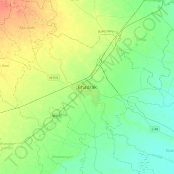
Name: Bhadrak topographic map, elevation, terrain.

Location: Bhadrak, Bhadrak Rural, Bhadrak, Odisha, 756100, India (20.90333 86.34537 21.22333 86.66537)

Average elevation: 15 m

Minimum elevation: 0 m

Maximum elevation: 46 m

Other topographic maps

Click on a map to view its topography, its elevation and its terrain.

Bhadrak Rural

India > Odisha > Bhadrak Rural

Average elevation: 16 m

Gear up for your next adventure:

📷Outdoor Action Cameras - Cameras designed for hiking and adventure
🔪Outdoor Multi-Tools - Versatile tools for gear repairs and food prep in the wild
🧥Softshell Jackets - Breathable jackets for active outdoor use
🥫Expedition Meals - Lightweight, high-calorie nutrition for long-distance hikers
👖Packable Overtrousers - Quick-deploy rain protection for legs in sudden storms

As an Amazon Associate, this site earns from qualifying purchases at no extra cost to you.