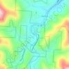
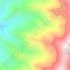
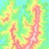
Mount Mitchell topographic map
Click on the map to display elevation.
Mount Mitchell
Mount Mitchell, known in Cherokee as Attakulla, is the highest peak of the Appalachian Mountains and the highest peak in mainland eastern North America. It is located near Burnsville in Yancey County, North Carolina in the Black Mountain subrange of the Appalachians about 19 miles (31 km) northeast of Asheville. It is protected by Mount Mitchell State Park and surrounded by the Pisgah National Forest. Mount Mitchell's elevation is 6,684 feet (2,037 m) above sea level.
About this map
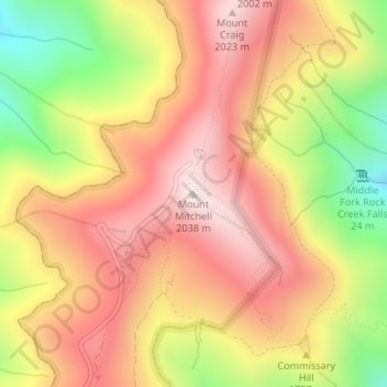
Name: Mount Mitchell topographic map, elevation, terrain.
Location: Mount Mitchell, Yancey County, North Carolina, United States (35.76491 -82.26517 35.76501 -82.26507)
Average elevation: 1,743 m
Minimum elevation: 1,355 m
Maximum elevation: 2,019 m
Other topographic maps
Click on a map to view its topography, its elevation and its terrain.
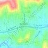
Mount Mitchell State Park
United States > North Carolina > Yancey County > Burnsville
In addition to Mount Mitchell itself, the park encompasses several other peaks which top out at over 6,000 feet (1,800 m) in elevation, including Mount Hallback, Mount Craig (just 52 feet (16 m) shy of Mount Mitchell in elevation and the second highest peak east of the Mississippi River), Big Tom and Balsam…
Average elevation: 1,271 m
Mount Mitchell State Park
United States > North Carolina > Yancey County > Burnsville
In addition to Mount Mitchell itself, the park encompasses several other peaks which top out at over 6,000 feet (1,800 m) in elevation, including Mount Hallback, Mount Craig (just 52 feet (16 m) shy of Mount Mitchell in elevation and the second highest peak east of the Mississippi River), Big Tom, and Balsam…
Average elevation: 1,271 m