
Koekelare topographic map
Interactive map
Click on the map to display elevation.
About this map
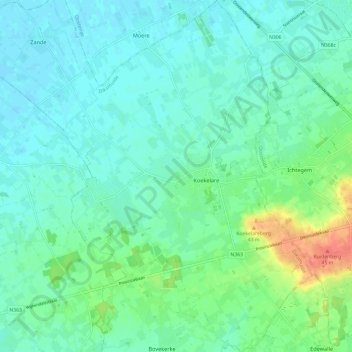
Name: Koekelare topographic map, elevation, terrain.
Location: Koekelare, Diksmuide, West Flanders, Flanders, 8680, Belgium (51.05357 2.92918 51.12882 3.01453)
Average elevation: 12 m
Minimum elevation: -1 m
Maximum elevation: 51 m