

Banff topographic map
Click on the map to display elevation.
Banff
Banff is a town within Banff National Park in Alberta, Canada. It is located in Alberta's Rockies along the Trans-Canada Highway, approximately 126 km (78 mi) west of Calgary and 58 km (36 mi) east of Lake Louise. At 1,400 to 1,630 m (4,590 to 5,350 ft) above sea level, Banff is the community with the second highest elevation in Alberta, after Lake Louise.
About this map
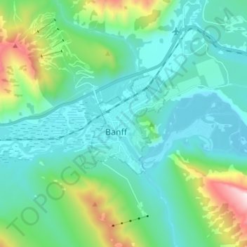
Name: Banff topographic map, elevation, terrain.
Location: Banff, Alberta, T1L 1A6, Canada (51.13778 -115.60825 51.21778 -115.52825)
Average elevation: 1,615 m
Minimum elevation: 1,342 m
Maximum elevation: 2,745 m