
Grândola topographic map
Interactive map
Click on the map to display elevation.
About this map
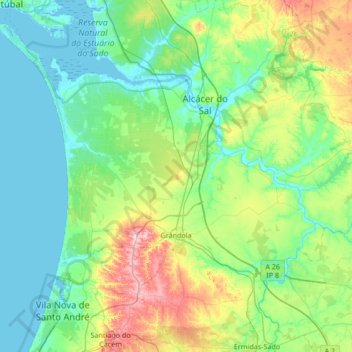
Name: Grândola topographic map, elevation, terrain.
Location: Grândola, Setúbal, Alentejo Litoral, Alentejo Region, Portugal (38.02345 -8.91287 38.50534 -8.23818)
Average elevation: 69 m
Minimum elevation: -3 m
Maximum elevation: 319 m