
Thank you for supporting this site ❤️
Make a donation
Make a donation
Gear up for your next adventure:
As an Amazon Associate, this site earns from qualifying purchases at no extra cost to you.
Karaca Dağ topographic map
Click on the map to display elevation.
Thank you for supporting this site ❤️
Make a donation
Make a donation
Gear up for your next adventure:
As an Amazon Associate, this site earns from qualifying purchases at no extra cost to you.
About this map
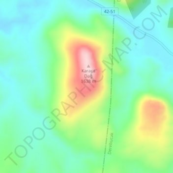
Name: Karaca Dağ topographic map, elevation, terrain.
Location: Karaca Dağ, Beyşehir, Konya, Central Anatolia Region, Turkey (37.46984 31.61524 37.46994 31.61534)
Average elevation: 1,452 m
Minimum elevation: 1,373 m
Maximum elevation: 1,643 m
Thank you for supporting this site ❤️
Make a donation
Make a donation
Gear up for your next adventure:
As an Amazon Associate, this site earns from qualifying purchases at no extra cost to you.